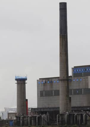
Coolkeeragh may be washed out and Foyle will likely burst banks


The North Western Flood Risk Management Plan, which was published in December, warns houses could be swamped by up to one metre of river water.
It predicts similar calamitous flooding for houses in Tullyally, Ivy Mead, Drumahoe, the Waterside, Springtown and the Glen should the River Faughan or the Burnagibbagh, Woodburn, Pennyburn or Creggan streams flood sufficiently.
Advertisement
Hide AdAdvertisement
Hide AdThe report reckons this will happen in the medium to long-term.
“The flood assessments, undertaken as part of the EU Floods Directive, have identified Belfast, Derry and Newry at significant risk of coastal flooding. Other Areas at risk, albeit to a lesser extent, include Downpatrick and Newtownards,” said Rivers Minister Michelle O’Neill.
According to the new plan Londonderry is ranked fourth of the twenty Significant Flood Risk Areas (SFRA) in Northern Ireland.
The risk to homes in the city would come from coastal flooding from the tidal River Foyle and from fluvial flooding from the various streams and burns flowing into it.
Advertisement
Hide AdAdvertisement
Hide AdThe report explains: “Londonderry has no formal sea defences, however, the banks/quays act as a form of coastal defence that provides limited protection to the low lying areas of the City.
“The coastal modelling predicts that at the 10 per cent Annual Exceedance Probability (AEP) tidal event flooding would take place due to overtopping of the quay at the Foyle
“Embankment and the banks at or near the Pennyburn Stream outlet to the Foyle.
“At the 2 per cent AEP event overtopping of banks/quays would also take place near the Craigavon Bridge, at Queen’s Quay and the McFarland Quay. At the other modelled events 1 in 75, 1 in 100, 1 in 200 and 1 in 200 climate change, the extent of the flooded areas increases but the overtopping of the quays/banks would continue in these five areas. Flooding could be up to 1m at the more extreme events.”
Advertisement
Hide AdAdvertisement
Hide AdThe report goes on to warn of the potential for flooding to occur at Coolkeeragh, which would be a disaster.
“The modelling predicts flooding of the Power Station site as the railway embankment is not a designated sea defense and is, therefore, ignored in the modelling. In practice the railway embankment acts as a form of sea defense and the Power Station site is unlikely to flood from the sea. However, there is always a risk that the railway embankment could fail with catastrophic consequences. There are no flooding hot spots in the vicinity and no records to indicate that Rivers Agency has responded to localised flooding problems,” the report says.
The report also deals with the potential for flooding from several local streams and burns.
It envisages that if a 1 in 100 year flooding event occurs at the Ardnabrocky drain it will affect four residential and six non-residential properties causing damage of around £39,570.
Advertisement
Hide AdAdvertisement
Hide AdA 1 in 100 year flooding event at the Burnagibbagh in Tullyally will affect 76 residential and 13 non-residential properties causing damage of around £409,788.
Such flooding at the Woodburn stream will affect 74 residential and 41 non-residential properties with a damage cost of around £115,324.
A 1 in 100 year flooding event at the Pennyburn stream will affect 55 non-residential properties causing damage of around £592,714.
And if the Creggan burn floods it will affect 13 residential and 4 non-residential properties with a damage cost of around £24,412.
Advertisement
Hide AdAdvertisement
Hide AdAmong the recommendations of the report is that there is no further development on flood plains.
“In the preparation of new Development Plans for Londonderry, Rivers Agency advises against bringing forward sites or the zoning of any land, particularly for built development, that has been identified from the flood maps as being within the 1 in 100 year fluvial floodplain/1 in 200 year coastal floodplain/reservoir inundation area or is susceptible elsewhere to surface water flooding.
“Rivers Agency shall also review the existing Development Plan for Londonderry with a view to addressing flood risk issues which have only recently been identified as a result of the new flood maps,” the report says.